
My day started at 3:45 AM when I stumbled out of bed, ate some Noosa yoghurt with granola and sliced banana, filled up my water bladder, slathered a quarter pound of chamois cream on some bike shorts, and rolled out of my garage by 4:15. I'd packed everything else the day before.
The neighborhood was eerily quiet and it was a bit surreal; I've rolled out from the house on a day ride a thousand times, knowing I'll be back raiding the fridge later that day. In this case I had a least four days before I'd be (hopefully) returning under my own power. Would the fridge still be there to greet me?
It remained too dark for pictures until I reached south Boulder, about 30 miles in, when I was able to catch the sunrise:

Soon after I passed a pair of fawns enjoying the cool morning. No sign of mom though:

Eventually I turned east though the Marshall Mesa area and decided it was time to make the swap from clear to tinted lenses. I'll remember this smooth single track fondly later, there is plenty of chunk in my future:

A view back west. Is there anything prettier than the morning sun on the Flatirons?


Thankfully I'm not travelling with Aragorn so there's no one to deny me a second breakfast. I'll need to eat like a hobbit to keep up with the calorie burn and keep the pedals turning over the next few days. Full of coffee and fast food I continued on with Joel through Superior. We joked it was like a fighter plane flying escort to a bomber, with me on my loaded steel hardtail and Joel on his racy carbon Niner. Joel knew a quick way through town to get to HW 128 and Simms, where I have to spend a few miles in traffic to connect to Standley Lake Park and a nice stretch of double track. It was a real morale boost to see a friend at the beginning of my trip. Thanks again, Joel!

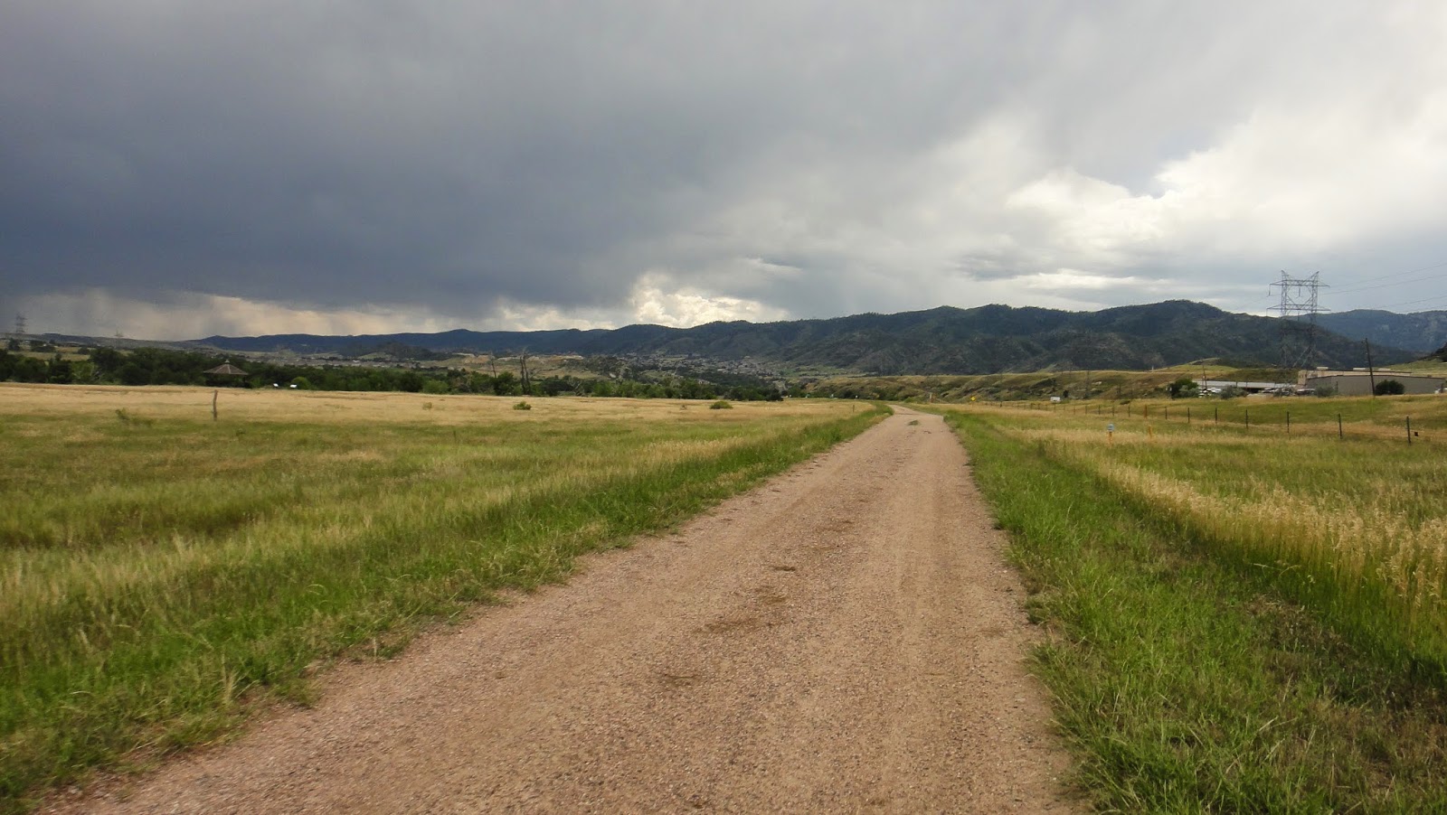
The remaining miles to Golden went by quickly and covered a mix of bike path, double track, and some ghetto single track:

The first real climb of the trip was over the mesa at North Table Mountain Open Space:

The city of Golden and the Coors brewery were just past the mesa:

At this point I had my first schedule dilemma. My sense of urgency and the reason for starting the day at an ungodly hour was so I could reach a certain general store between Tarryall Reservoir and Kenosha pass on Day Two before it closed at 5 PM. This was the only resupply opportunity past Golden until Frisco and it was 30 hours from my current location. I'd hoped to score some real food in Golden but it was only 10:15 AM and nothing was open yet. I considered hanging out but decided I'd be better off if I kept moving. My pile of almond butter and honey sandwiches, Honey Stinger waffles, and drink mix would have to suffice. I did take time to stop at a convenience store to grab a honey bun and refill on water:

Refueled I kept rolling south through town, along the C-470 bike path, through Bear Creek State Park in Lakewood, back to the C-470 path:

and through some neighborhoods in Littleton:

Then I rode around the lake at Chatfield State Park where after getting a bit lost, I found the trail that continues south all the way to Waterton Canyon. I got rained on a bit here, but it was nice and warm compared to the rain I'll see later up high:
And here I am, 85 miles later, at about 2 PM, and at the end of my warm up. Time to tackle the Colorado trail I'd never ridden segments 1 or 2 and I was excited to cover some new terrain:

Man, this is easy! What's all the fuss about, I thought the CT was hard:

Easy perhaps but gorgeous, the canyon here along the Platte River is amazing. Good fishing apparently, lots of people out with poles:

Lots of bighorn sheep too. This is the closest I've ever come to these guys before:


At about 5:30 I finished segment 1 at the South Platte and paused to read up on segment 2 in my CT data book info. Segment 2 is 20 miles, most of which goes through a burn area so it's hot and exposed, with no water, so to be safe I top off by filtering from the Platte:


Some representative sections on segment 2. It's hot but fairly rideable with decent flow:


I finished segment 2 just shy of sunset, which was my goal for the day. I'm tired after 16 hours of riding, but happy with my progress. At this point I need water, I'm hungry, it's getting cold, I need to find a place to camp, and I have very little light left. Checking my photocopied pages from the CT data book I realize there is water just a mile further on into segment 3 and that there should be flat spots for camping just past that. I chow some food, put on warm clothes, and keep plodding forward. I filter in the dark, find a likely camping spot, and nearly stumble over a camper in his bivy, the first person I've seen in in several hours. Embarrassed, I continue a few hundred feet down the trail to another good spot, set up camp, crash, and dream of burritos.
No comments:
Post a Comment